The solution
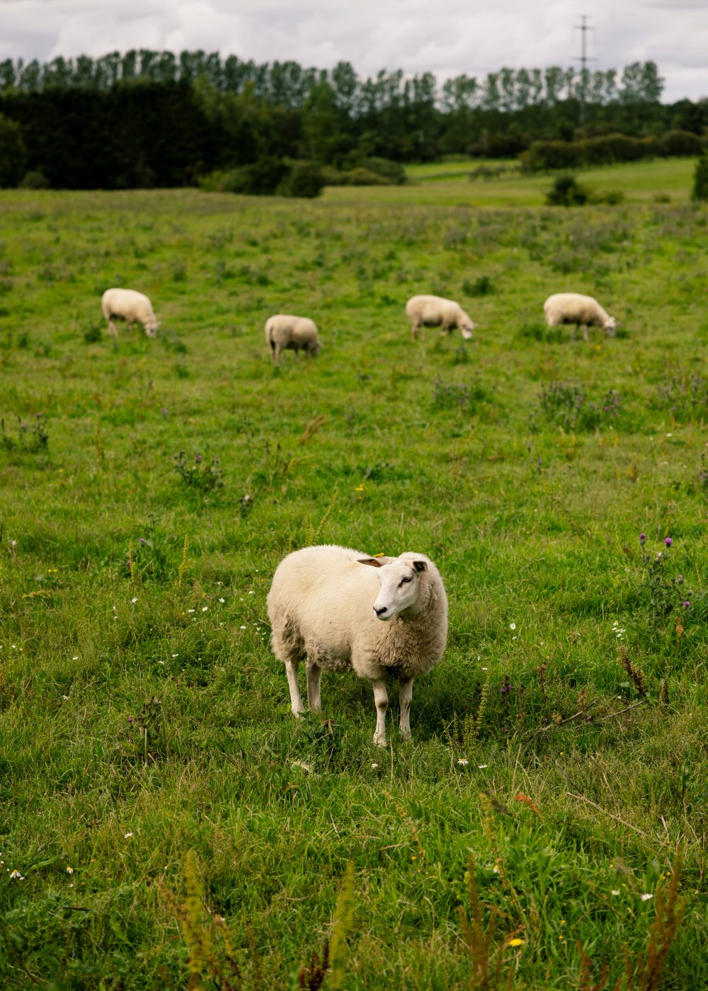
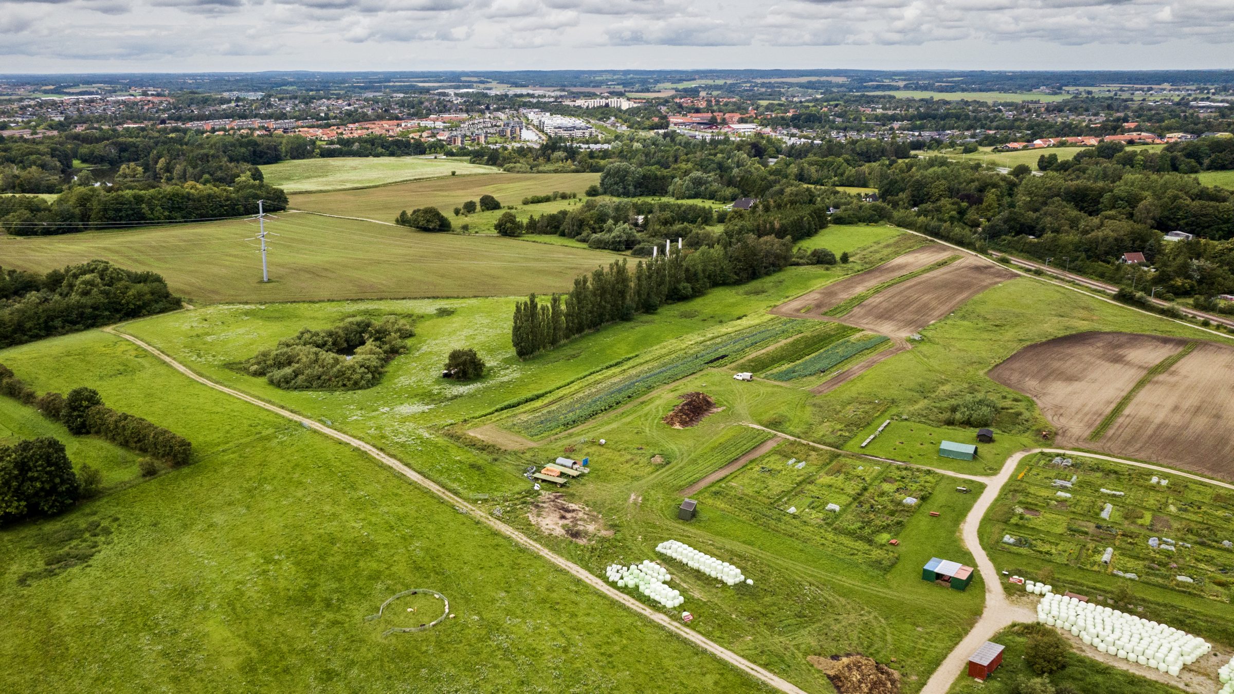
In 2017, a first step towards making the documentation process easier was taken. The EU-owned Copernicus Sentinel satellites started to provide freely available, high-resolution images to agencies, farmers, and other interested parties. A machine detects whether an area is most likely farmland or forest, what kind of crop is growing on the farmland, and whether there are fallow fields or not.
»Depending on whether the satellite information aligns with the information received from the farmers, the fields are labelled as red, green, or yellow«, Thomas Andersen, a partner in Netcompany, says.
This information is sent to IMK (Internet MarkKort), the digital system that handles and controls applications for agricultural support in Denmark.
Problematic yellow or red fields are handled by an app feature that allows the agency to control documentation at a distance.
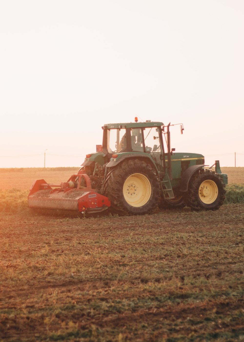
»Farmers can drive out to a certain field, take a photo, and send it to the agency with an attached GPS location. That saves a lot of time for everyone involved«, Thomas Andersen says.
When the control process is done, the information is sent to an automated digital grant engine, CAP-TAS, before the support is finally paid out using a payment system, TUS.
Netcompany is responsible for running, maintaining, and updating two of the three systems involved in the process of agricultural support: IMK and TUS (as for TUS, the contract expires in September 2023). Amongst other things, Netcompany has updated the digital system to improve its stability and data maintenance. In the future, the plan is to include AI analysis of control pictures so as to reduce the need for manual control and decision-making even further.